Enclave

The enclave. Alcazaba and Gibralfaro Castle

The Alcazaba and Gibralfaro Castle are part of a strategic enclave that reveals its importance by its dominance over the city of Malaga during the Islamic settlement.

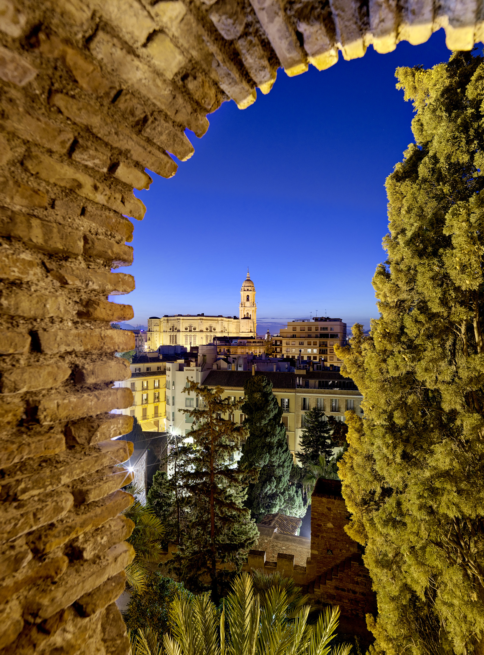
Malaga follows a historical model of a city opening on to a bay, surrounded by the southern foothills of the Malaga Mountains, and with the river Guadalmedina flowing through its historic centre. Mount Gibralfaro, named after the Arabic gíbal al-faruh (giblafaruh – mount of the lighthouse), is 130 metres high. The initial origins are considered to be Phoenician, as a Phoenician settlement extended from the slopes of Mount Gibralfaro to Calle Císter and Ibn Gabirol Gardens, and southwards to the sea. The existence of a fully consolidated and walled city dating back to the 8th century BC has been confirmed by the remains that have been found. This settlement was contemporary to the important commercial enclave of Cerro del Villar, located at the mouth of the river Gualdalhorce.

Later, when classical sources (mostly accounts of Greek and Roman journeys) describe the location of Malaka, Mainake and Malacca – its Punic, Greek and Roman name, respectively – they always mention a promontory that dominated the city and served as a reference point for navigation. It was not until the Islamic settlement that the urban structure of the city was configured around the mountain as we know it today, with Gibralfaro Castle at its top, and the Alcazaba, the Coracha and the Jardines de Puerta Oscura on its slopes.

Thus, this is a mountain that stood at the very centre of the life and urban configuration of the Islamic city, made up of the medina, the Alcazaba, Gibralfaro Castle and the outskirts.

It is no coincidence that the strategic advantage offered by Mount Gibralfaro, together with the discovery of prior defensive constructions, made it the ideal place to build the Alcazaba, whose name, al-Qasba, means urban fortress. Initially it was built as a fortification, and later it would become a palace-fortress, the seat of government of the city.

It has been discovered that the oldest parts to have survived to the present day date back to the Taifa of Malaga. After half a century of domination by the Hammudids, the Taifa was incorporated into the Taifa of Granada in 1057. King Badis laid out the perimeter of the Alcazaba, following a very elongated and irregular plan, conditioned by the land it was built on. The control of the medina and the possibility of incursions from the bay meant that from the very beginning the fortress was conceived as a military power and an administrative organisation, with certain characteristics that were typical of these types of constructions. In this way, the construction of the Alcazaba ensured the physical presence of power over the city, while at the same time it was kept separate by its architectural structure – surrounded by walls, it was a practically unbreachable fortress, as the Christian troops discovered during the capture of Malaga by the Catholic Monarchs.

Located at the top of Mount Gibralfaro, it dominates the entire city. This fortress has always been the best watchtower from which to observe the population settled on the slopes of the mountain and the different accesses to it by sea and land. There is evidence of the remains of an ancient Phoenician enclosure that contained a lighthouse, which gave its name to Mount Gibralfaro (Jbel-Faro, or mount of the lighthouse). The fortress was enlarged and converted into a castle by the Nasrid king Yusuf I in 1340, built to house troops and protect the Alcazaba during sieges. In its day, it was the most impregnable fortress of all al-Andalus.

At this time, the mountain was completely devoid of vegetation, in order to facilitate its defence and prevent any possible ambushes. Its only entrance was through a monumental gate, which was accessed from the Coracha and which communicated with the barbican that surrounded the entire outer perimeter.